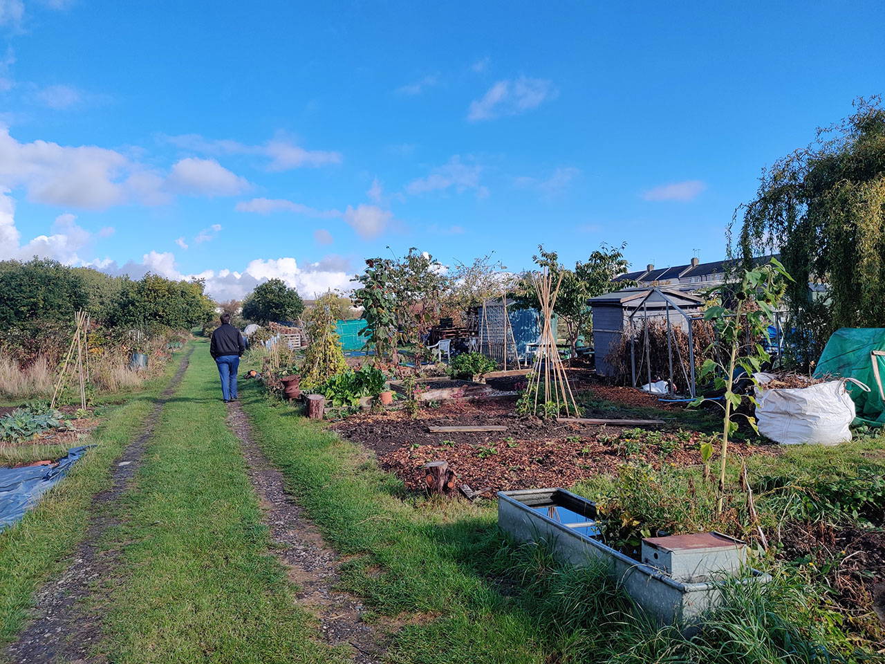
Where Catchment to Coast is working on a range of measures
A catchment is the area of land where the rain that falls eventually ends up in a single river before reaching the sea. By using a catchment-based approach we can look after our rivers and the areas around them.
For the Catchment to Coast project we’ve divided our water catchment into three areas: the upper, middle and lower catchment. Each of these areas has a different role to play in the way that water affects and is affected by, our local environment.
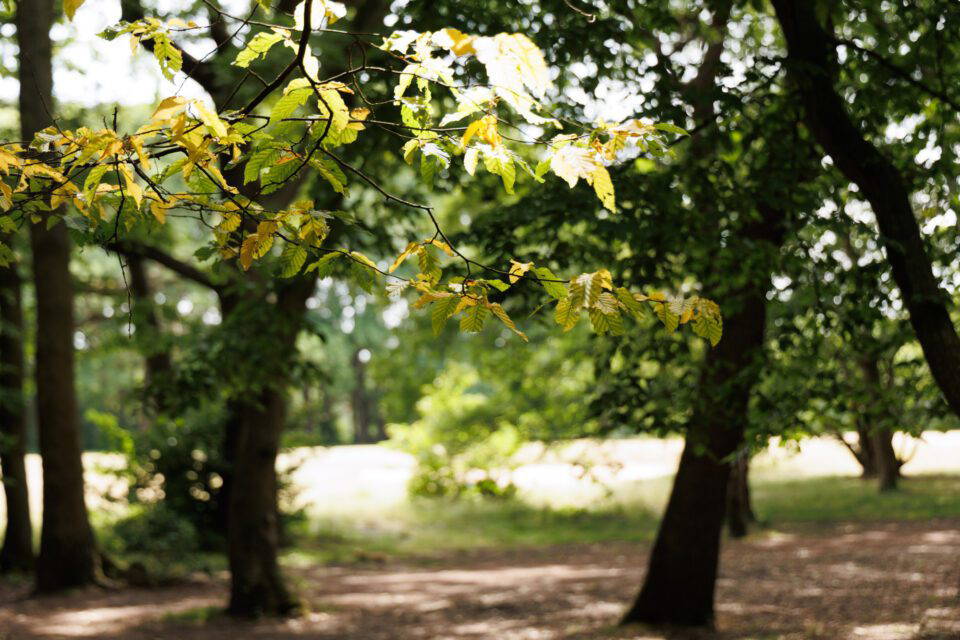
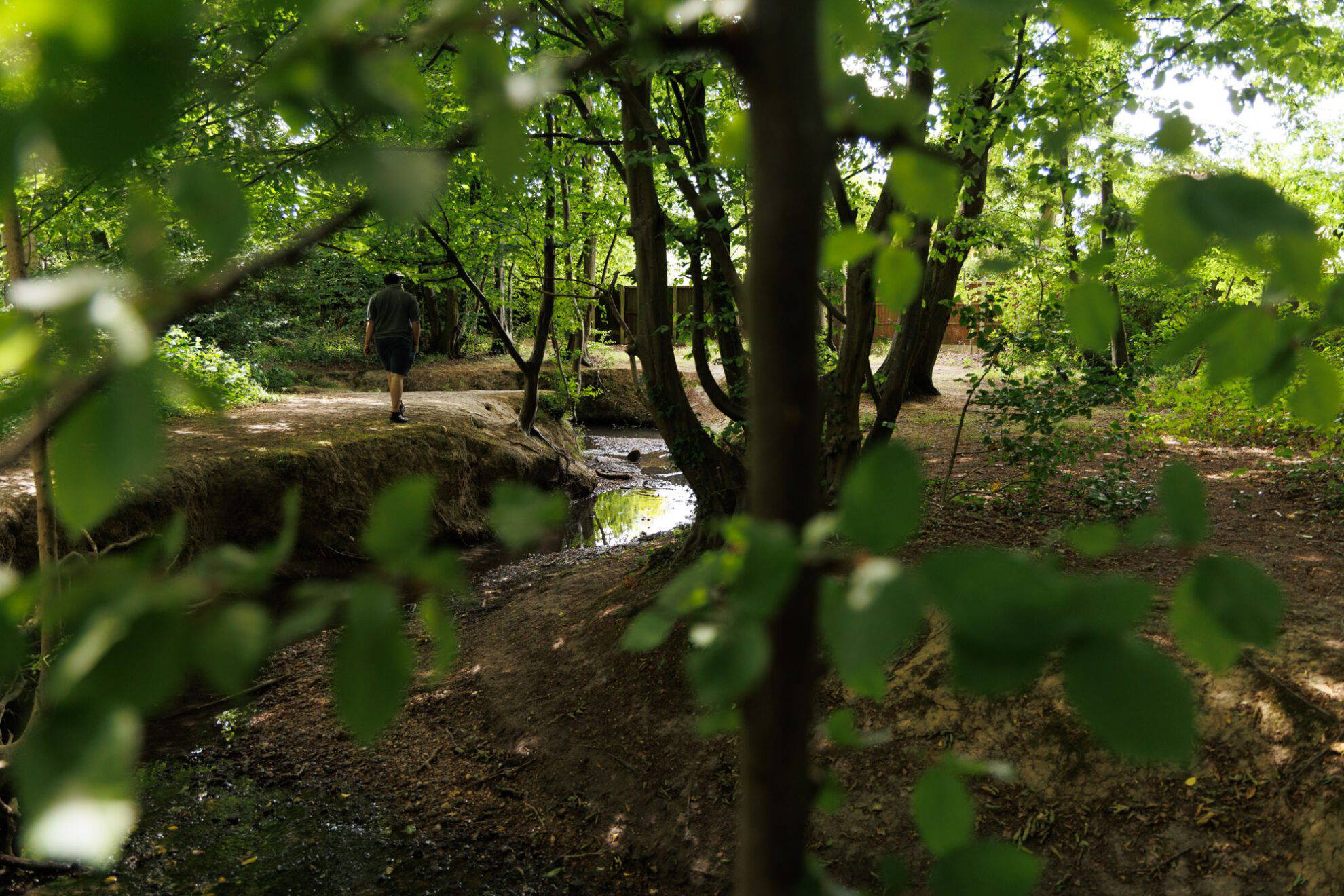
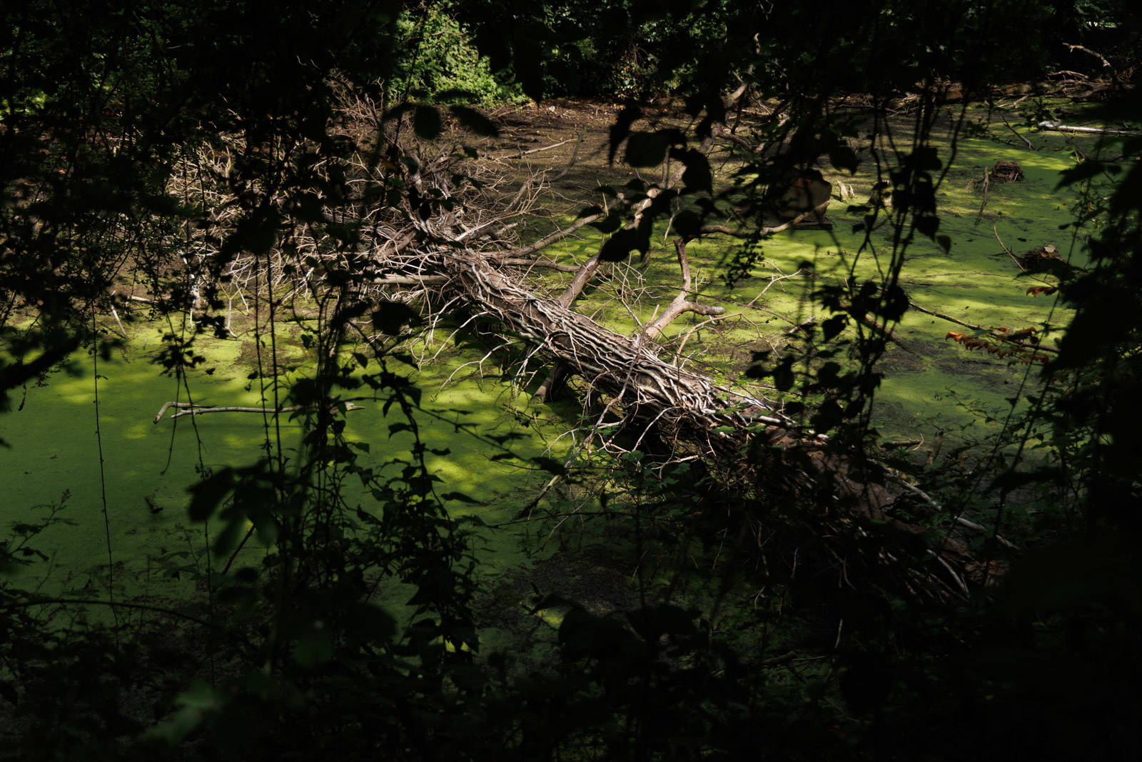
Wet woodland and leaky dams
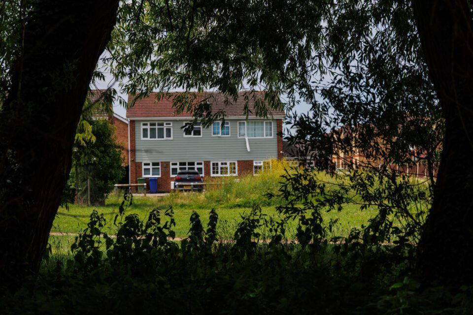
Micro sustainable drainage on a new development
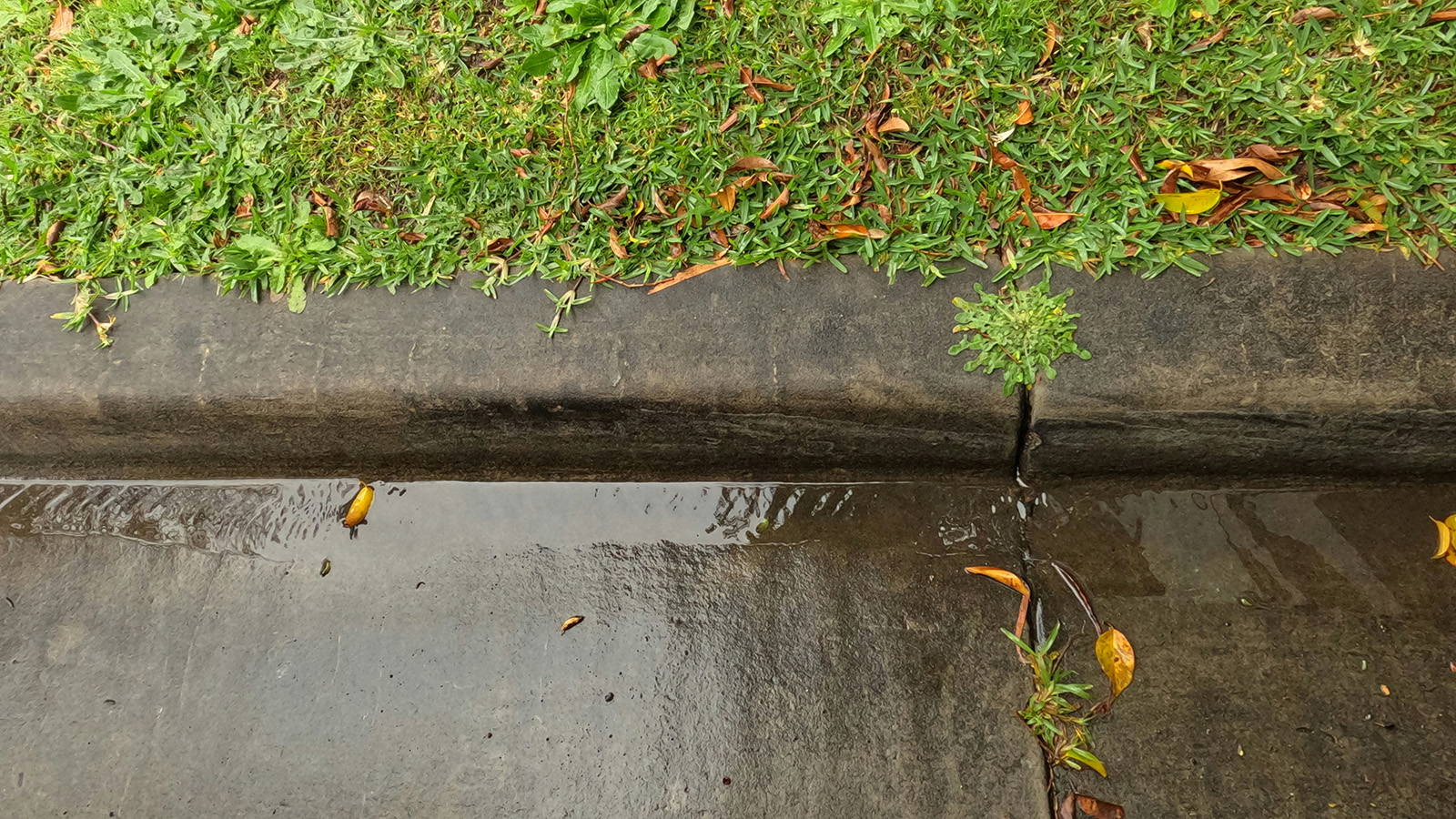
Innovative wet verge systems
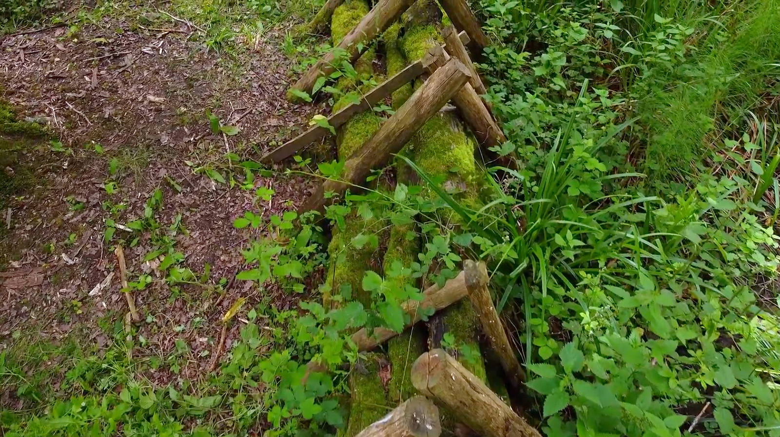
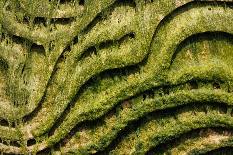
Leaky dams with mycelium
Residential retrofit of water butts and other water saving measures
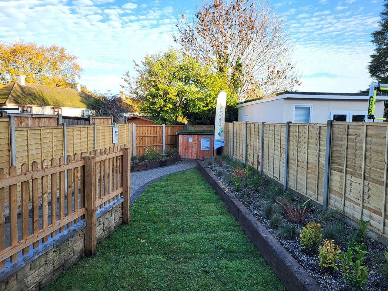
Sustainable urban drainage systems and much more in Juniper Road
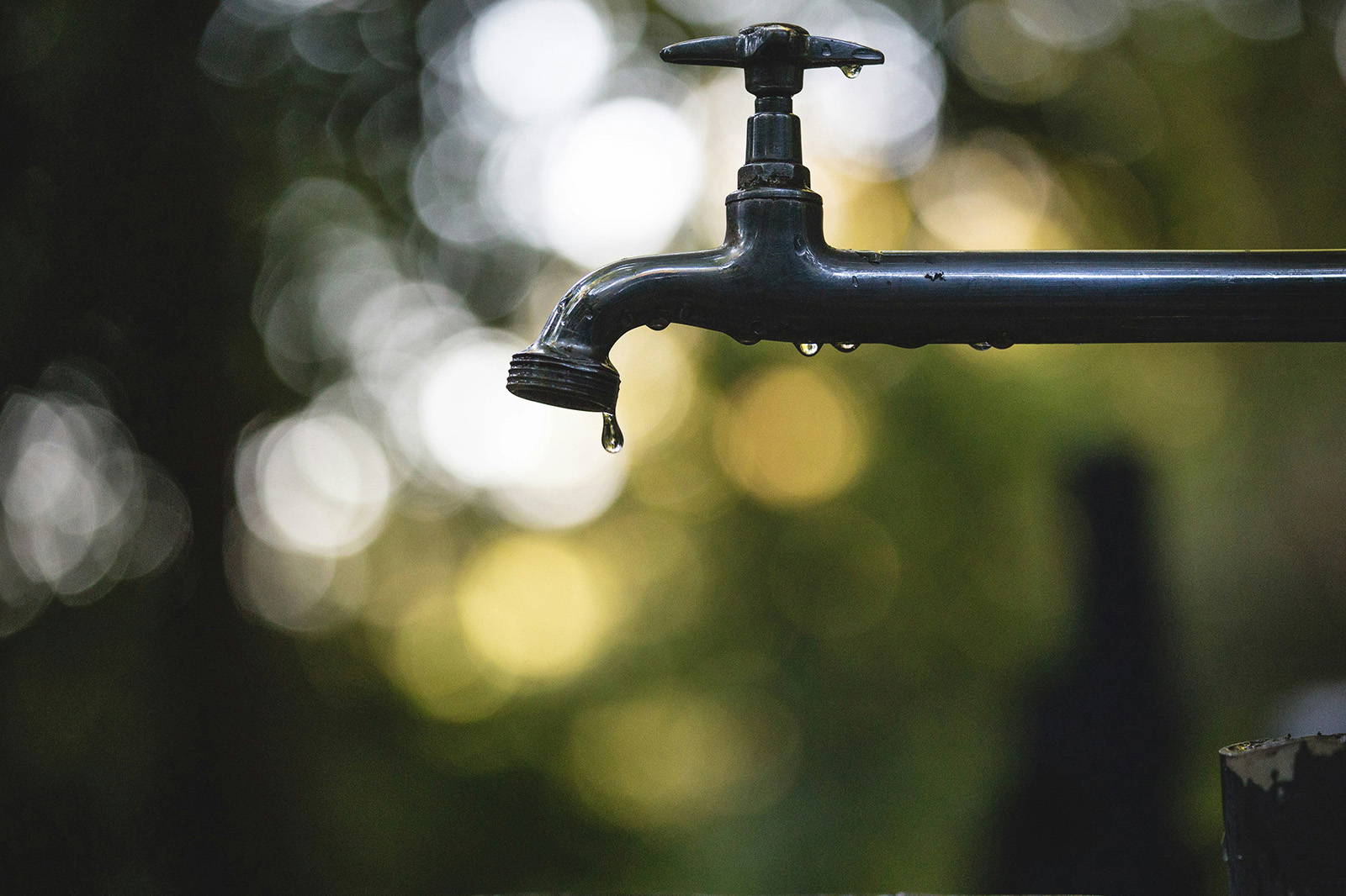
Rainwater capture, storage and re-use

Residential sustainable drainage systems in Stanford-le-Hope

Water capture, storage and reuse
Sustainable drainage systems and water resilience in a new development
Rainscaping, community garden and A13 road drainage around the St Mary’s Nature Reserve in Shoebury
Improving water quality with a range of innovative methods, including soil filtration and mycelium
Flood warning beacons in East Tilbury
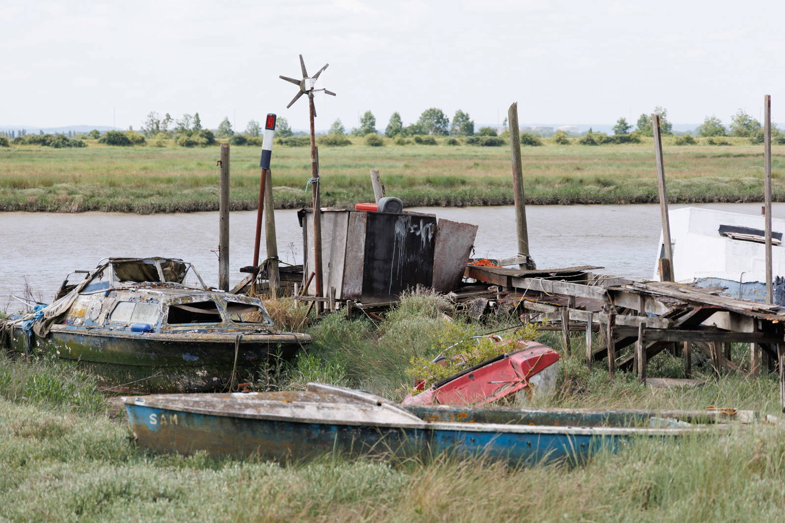
Innovative solutions to improve erosion resilience and improve nature diversity
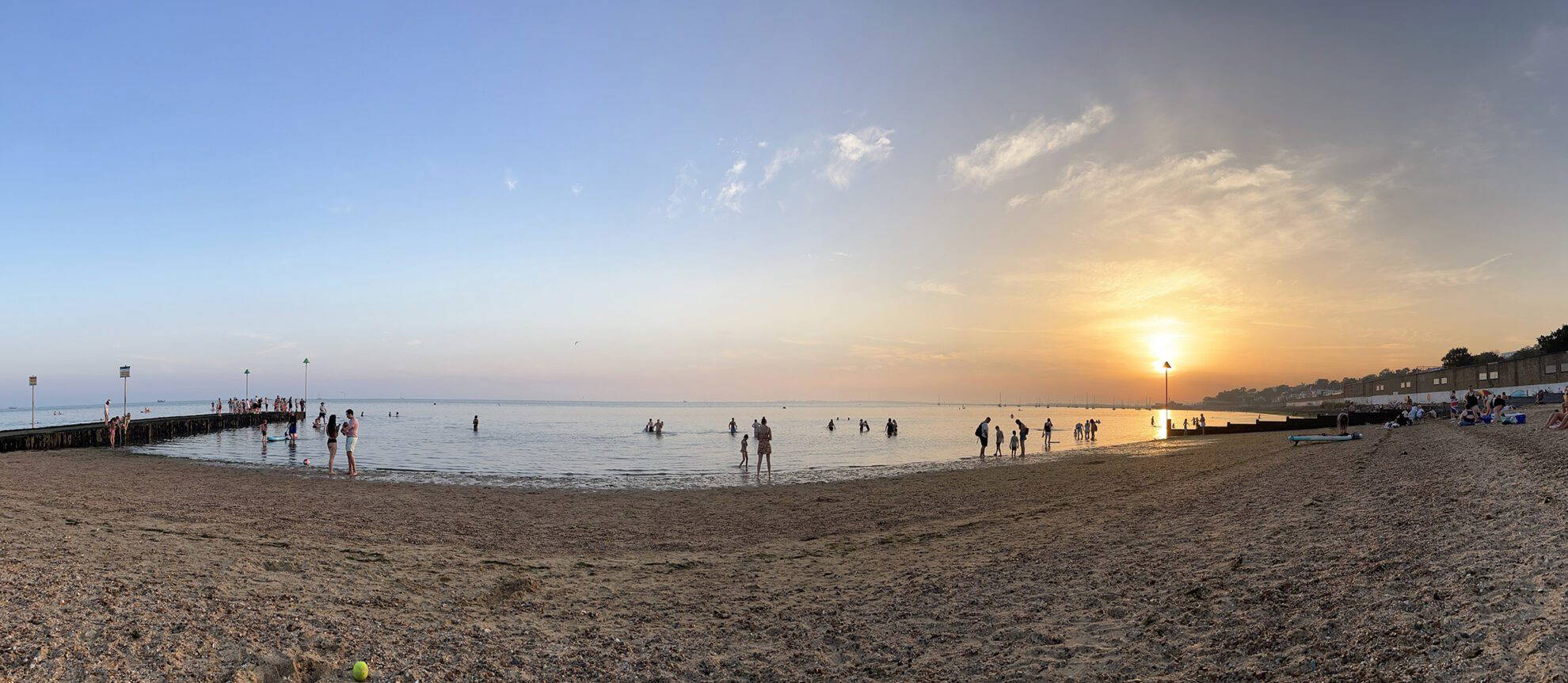
Surface water flood warning beacons along the seafront
Improving erosion resilience to historic landfill sites
All the places in the catchment where we’re working, or hoping to install measures as part of Catchment to Coast.
Yellow: Lower catchment
Green: Middle catchment
Blue: Upper catchment